

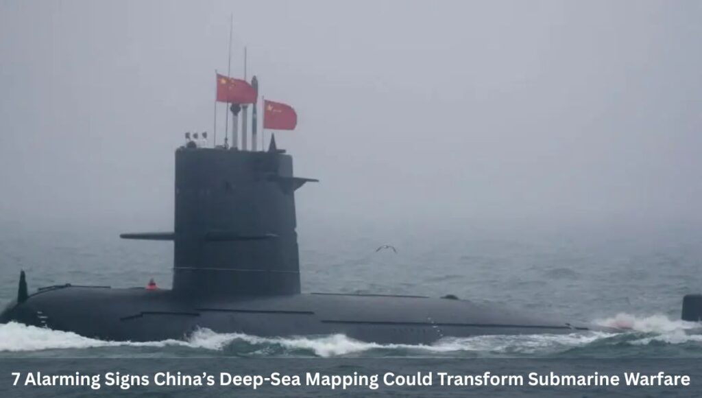
7 Alarming Signs China’s Deep-Sea Mapping Could Transform Submarine Warfare and raise global security concerns. China’s rapidly expanding undersea mapping operations across the Pacific, Indian, and Arctic Oceans are drawing increasing scrutiny from defence analysts and policymakers worldwide.
What Beijing describes as scientific research is now being viewed by many experts as a strategic effort to reshape the future of submarine warfare. At the center of this effort are advanced research vessels systematically scanning the ocean floor, deploying sensors, and collecting vast amounts of environmental data.
While these missions are officially framed around climate research, fisheries, and resource exploration, their scale and geographic focus suggest a deeper military dimension. The implications are profound. Control of the underwater domain—often invisible to the public—has long been a cornerstone of naval power.
Now, China appears to be investing heavily in mastering that domain.
7 Alarming Signs China’s Deep-Sea Mapping Could Transform Submarine Warfare
The Strategic Importance of Seabed Mapping
Understanding the ocean floor is not just a scientific pursuit—it is a military necessity in modern naval warfare.
Submarines rely heavily on environmental awareness to operate effectively.
Factors such as seabed terrain, water temperature, salinity, and ocean currents directly influence how sound travels underwater.
Since sonar systems depend on sound waves, even minor environmental variations can determine whether a submarine remains hidden or is detected.
Why This Data Matters
- Navigation Precision: Detailed seabed maps allow submarines to maneuver safely in complex underwater environments.
- Stealth Advantage: Knowledge of acoustic conditions helps submarines avoid detection.
- Target Tracking: Environmental data enhances the ability to detect and track enemy submarines.
- Sensor Placement: Enables strategic deployment of underwater surveillance systems and weapons.
Experts emphasize that any navy aiming to dominate underwater warfare must first dominate underwater data.
A Vast and Coordinated Mapping Campaign
China’s mapping effort is not limited to isolated missions. It is a coordinated, large-scale campaign involving multiple vessels and long-term planning.
Research vessels have been observed traveling in tight, repeated grid patterns—a standard technique for detailed seabed surveys.
This method allows for high-resolution mapping across vast ocean areas.
Key Features of the Campaign
- Multiple survey ships operating simultaneously
- Long-duration missions spanning years
- Deployment of advanced sonar and sensing equipment
- Coverage across strategically sensitive regions
This level of activity indicates not just scientific curiosity, but systematic preparation.
Focus on Strategic Maritime Regions
China’s mapping operations are concentrated in areas of high geopolitical and military importance.
Pacific Ocean Hotspots
Survey activity has been observed near critical zones including:
- Waters surrounding Taiwan
- Strategic U.S. military hubs in the Western Pacific
- Key maritime corridors used by global naval forces
These areas are vital for both regional security and global power projection.
Indian Ocean Expansion
China’s activities extend deep into the Indian Ocean, particularly around:
- Major shipping lanes
- Energy transport routes
- Strategic chokepoints like narrow straits
This region is crucial for global trade and energy security. A significant portion of the world’s oil shipments passes through these waters, making them highly sensitive.
Arctic Ambitions
China’s mapping efforts have also reached into the Arctic, aligning with its ambition to become a major polar power.
The Arctic offers:
- Emerging shipping routes due to melting ice
- Untapped natural resources
- Strategic military positioning opportunities
Mapping this region early provides a long-term advantage.
Civil-Military Fusion: Science Meets Strategy
A defining feature of China’s approach is the integration of civilian research with military objectives—a strategy often referred to as “civil-military fusion.”
Under this model:
- Universities conduct oceanographic research
- State institutions manage data collection
- Military agencies utilize the data for defense purposes
This approach creates a dual-use ecosystem where scientific exploration directly supports military capability.
Why This Matters
- Reduced scrutiny: Civilian missions attract less international attention than military deployments
- Operational flexibility: Research vessels can operate in international waters with fewer restrictions
- Data accumulation: Continuous data collection builds a long-term strategic advantage
This blurred line between science and defense complicates global responses.
The “Transparent Ocean” Vision
One of the most ambitious elements of China’s strategy is the development of what experts call a “transparent ocean.”
This concept involves creating a vast network of:
- Underwater sensors
- Floating buoys
- Subsea monitoring systems
These systems are designed to collect real-time or near-real-time data on ocean conditions.
Capabilities of a Transparent Ocean
- Monitoring submarine movement
- Tracking acoustic signatures
- Enhancing sonar performance
- Providing continuous situational awareness
If fully realized, such a system could significantly enhance China’s ability to detect and track submarines across vast regions.
Implications for Submarine Warfare
The expansion of China’s ocean mapping capabilities could fundamentally alter the dynamics of submarine warfare.
Key Military Advantages
1. Improved Stealth Operations
Submarines can exploit environmental conditions to remain undetected.
2. Enhanced Detection Capabilities
Better data improves the effectiveness of anti-submarine warfare systems.
3. Strategic Positioning
Accurate mapping allows for optimal placement of sensors and weapons.
4. Operational Confidence
Commanders can make more informed decisions in complex underwater environments.
For decades, certain naval powers have maintained an edge in undersea warfare due to superior knowledge of ocean environments.
China’s rapid progress in ocean mapping threatens to narrow that gap.
What This Means
- Reduced asymmetry in submarine warfare
- Increased competition in the undersea domain
- Greater uncertainty in naval operations
The underwater battlespace, once dominated by a few, is becoming increasingly contested.
Modern warfare is increasingly data-driven, and naval operations are no exception.
In the past, naval strength was measured by:
- Fleet size
- Firepower
- Geographic reach
Today, it also depends on:
- Data accuracy
- Environmental intelligence
- Real-time monitoring capabilities
China’s investment in ocean data reflects this shift.
Strategic Motivations Behind the Expansion
China’s deep-sea mapping campaign is driven by both offensive and defensive considerations.
Defensive Drivers
- Protecting maritime trade routes
- Securing energy imports
- Reducing vulnerability to naval blockades
Offensive Capabilities
- Expanding submarine reach
- Enhancing surveillance capabilities
- Challenging rival naval dominance
This dual motivation underscores the complexity of the strategy.
Growing Global Concerns
The scale and scope of China’s activities have raised alarms among defense analysts and governments.
Key Concerns
- Military use of civilian research: Blurring traditional boundaries
- Surveillance risks: Potential monitoring of foreign naval activity
- Strategic imbalance: Shifting power dynamics in key regions
The lack of transparency around these operations adds to the uncertainty.
A More Contested Underwater Future
The expansion of ocean mapping capabilities signals a broader transformation in maritime security.
The future of naval warfare is likely to be:
- More technologically complex
- More data-driven
- More competitive
Control of the undersea environment may become as critical as control of airspace or cyberspace.
The Indo-Pacific at the Center
Much of this transformation is centered in the Indo-Pacific region, a critical hub of global trade and security.
Why It Matters
- Hosts major shipping routes
- Contains key military installations
- Serves as a focal point for geopolitical competition
China’s activities in this region highlight its strategic priorities.
The Road Ahead
China’s deep-sea mapping efforts are not a short-term initiative—they represent a long-term investment in strategic capability.
As these efforts continue, several trends are likely:
- Expansion of sensor networks
- Increased data integration
- Greater emphasis on underwater dominance
Other nations may also accelerate their own mapping and monitoring efforts in response.
Conclusion
China’s expanding undersea mapping campaign is reshaping the landscape of modern naval warfare.
What appears on the surface as scientific exploration is, in reality, part of a broader strategic effort to gain dominance in one of the least visible but most critical domains of global security.
By investing in data, sensors, and environmental intelligence, China is positioning itself to operate more effectively beneath the waves—challenging existing power structures and redefining the rules of undersea conflict.
As geopolitical competition intensifies, the battle for control of the ocean’s depths may prove just as conflicts fought on land, air, or cyberspace.
Also Read: 7 Alarming Nuclear Threats as China & Pakistan Missiles Could Reach US: Intel Warning
Also Read: Why is China quietly mapping the ocean floor? Is a silent submarine war with US taking shape?
Related Posts:
- 5 Major Takeaways from the US Supreme Court's…

- 7 Powerful Shifts: Venezuela to Supply Up to 1,000…

- 9 Stark Signals as US Deploys Aircraft to Greenland Base

- 7 Heartbreaking Facts About Venezuela's Earthquake Disaster

- Over 20% of the Ocean Is Darkening: A Growing Threat…

- In 8 Moves, EU Targets China-Linked Refineries and…
